Foresee the Unforeseen: Train on real terrain in any conditions

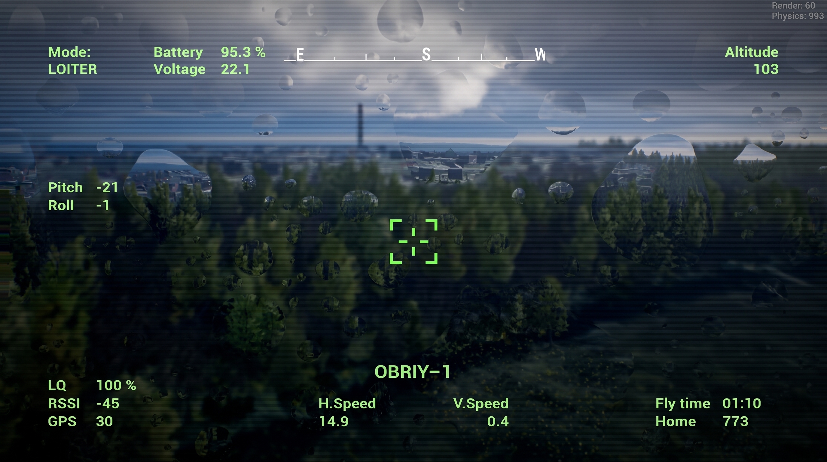
The conditions of a real mission are never entirely predictable. The line of contact shifts, routes pass through complex terrain and built-up areas, visibility deteriorates, rain or fog sets in, and daylight turns into night.
It is impossible to anticipate every change. But it is possible to prepare in advance for a wider range of scenarios.
That is why Obriy combines real-world terrain with variable environmental conditions. An upcoming mission can be rehearsed in advance on an up-to-date map under different weather conditions, seasons, lighting, and visibility — before the mission is carried out in the real world.
Real maps along the entire line of contact
Obriy’s digital operational environment covers the entire line of contact in Ukraine, with a total area exceeding 50,000 km².
The map is divided into 35 × 35 km sectors that provide continuous coverage along the line of contact. This makes it possible not only to train on real terrain, but also to rehearse a specific upcoming mission in advance: follow the planned route, account for terrain and surrounding features, test the scenario, and prepare for execution before the actual flight.
The map is not static. Terrain data is updated with every simulator release. Following synchronization with open-source analytical data on changes along the line of contact, including data from DeepState, new frontline configurations are integrated into Obriy.
This allows the same route or scenario to be rehearsed multiple times under different conditions. Instead of preparing for a single predictable course of events, operators can train for a range of situations that may arise during the actual mission.


One area — different mission conditions
Even over the same terrain, mission conditions can vary significantly. Weather, lighting, and visibility can change the operational environment within minutes.
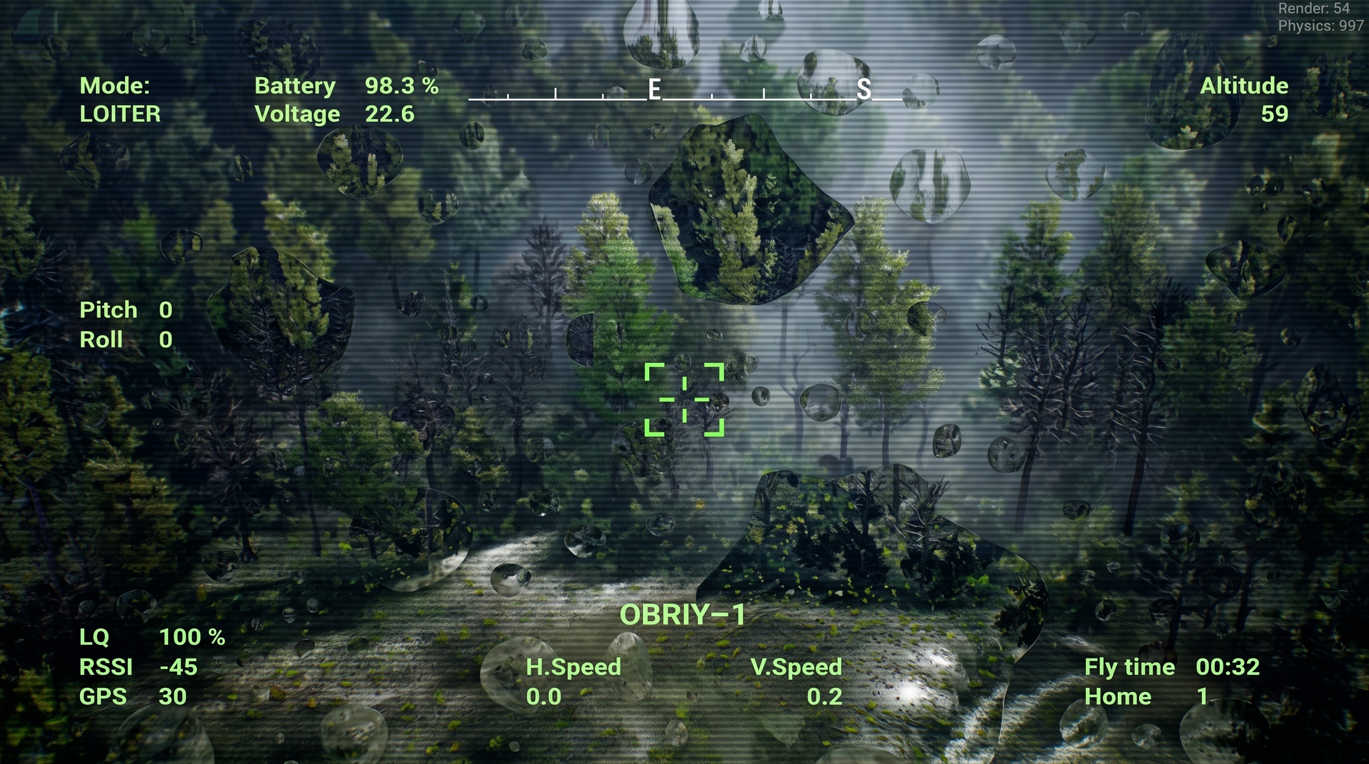
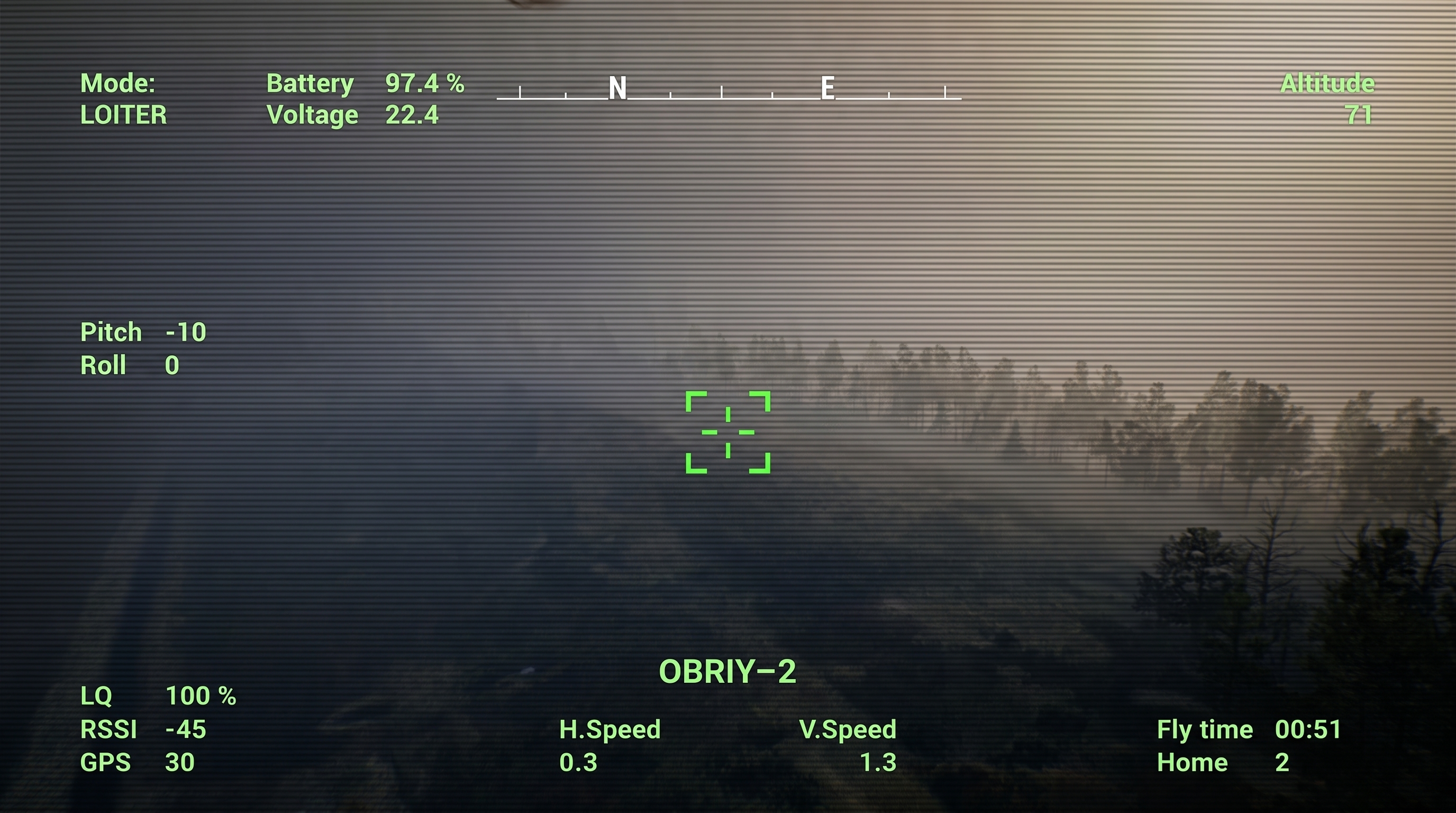
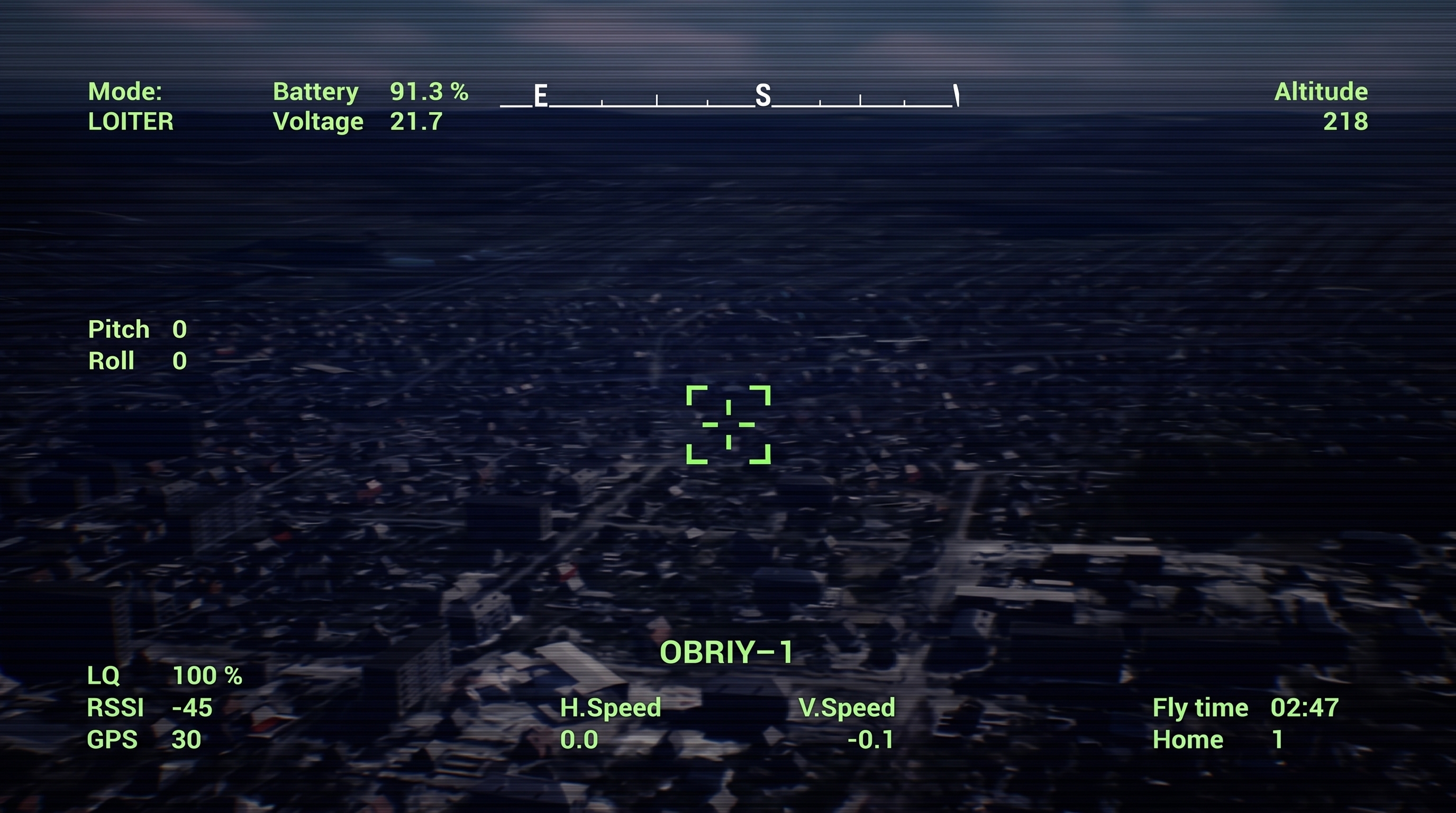
In Obriy, weather, season, and time of day can be configured independently and combined. Users can select clear or cloudy weather, fog or rain, and run missions during the day, at sunset, or at night.
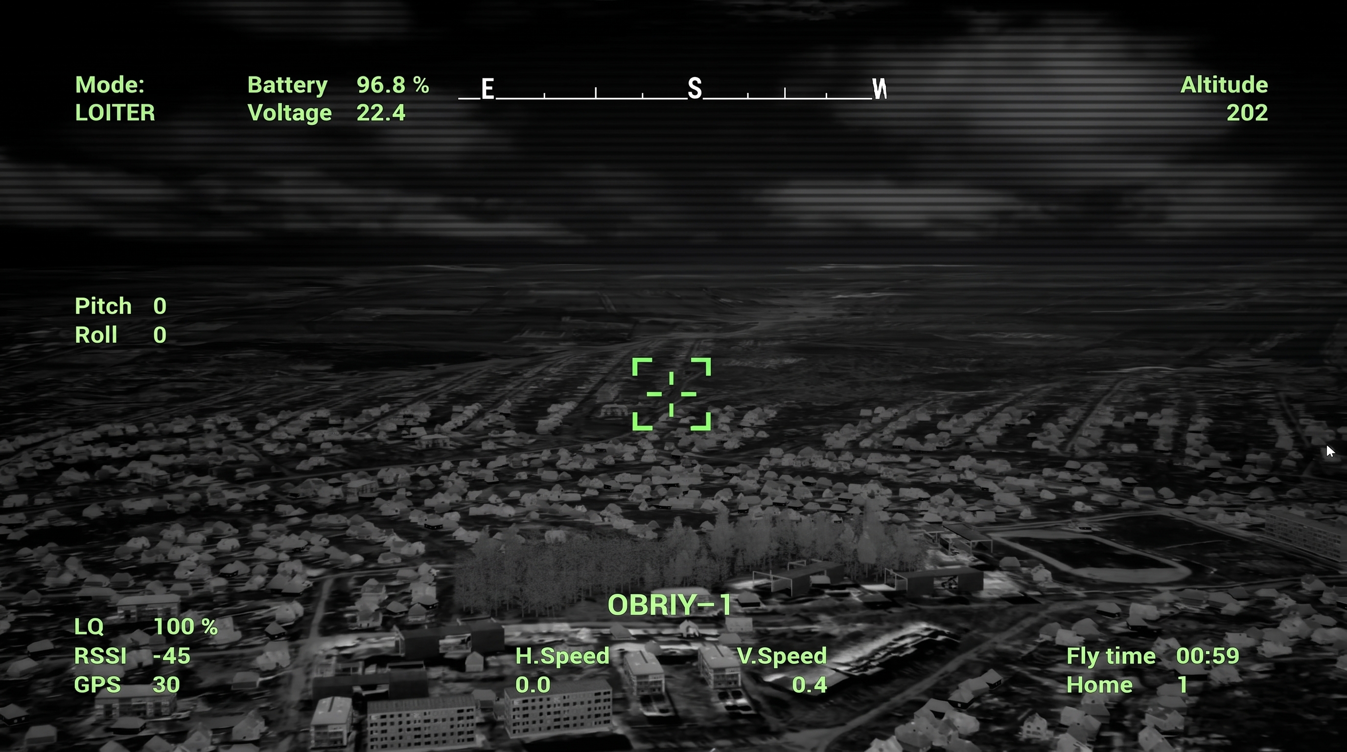
Each combination creates different operating conditions. Rain affects visibility through the camera, fog makes object recognition more difficult, while at night operators work with minimal illumination or use a thermal camera.
From planning to training
Combining up-to-date terrain with variable environmental conditions makes OBRIY suitable not only for general training scenarios, but also for preparing for specific upcoming missions.
A planned mission can be recreated in Obriy, the route rehearsed over the relevant terrain, and the same scenario tested under different weather, visibility, and lighting conditions. A route that appears straightforward in daylight and good visibility may require entirely different decisions in fog, rain, or darkness.
You cannot anticipate everything. But you can prepare for more.